Level of Service (LOS) of Rajshahi-Dhaka Highway: A Case Study on Belpukur Intersection
Abstract
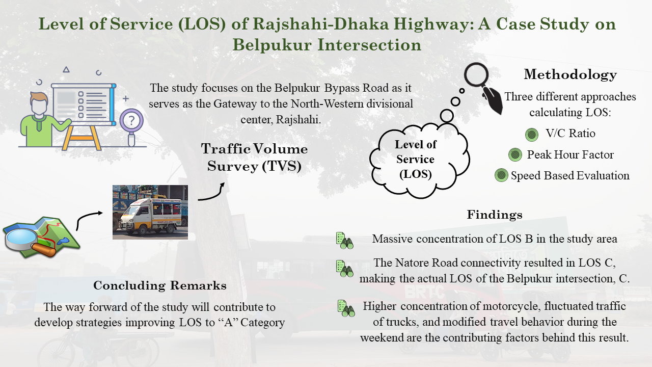
To picturesque the transportation system's condition, the vehicle's concentration and user ratio must be compared to the design capacity. Traffic Volume Survey (TVS) offers insight into these data and creates a Level of Service (LOS) evaluation for any particular lane. This study focuses on one of the major intersections of Rajshahi to Dhaka Road, the Belpukur Intersection (Gateway). Three different approaches, i.e., V/C ratio, Peak Hour Factor, and Speed Based Evaluation were considered, which showed a massive concentration of LOS B in the survey area, whereas the Natore connectivity resulted in LOS C, making the actual LOS of the intersection, C. Higher concentration of motorcycle, fluctuated traffic of trucks, and modified travel behavior during the weekend are some contributing factors behind this result. This study will help transport planners and policymakers to better understand the influx of vehicles towards Rajshahi and make effective strategies and plans for it.
Conclusion
A functional transportation system is necessary for economic progress where successful engineering operations and management are accomplished. Traffic volume survey is a key step for determining the present status of traffic volume and forecasting its future state. By comparing all three shifts, which is identified by employing modal variation, it is found to have the highest concentration of dominating vehicles (Motorcycle) during both working days and weekends. But, the frequency of Motorcycle is less in the lanes of Belpukur Bypass Road compared to the other lanes of the road. The frequent flow of buses having a steady interval is observed more in "Belpukur intersection Natore Road" and "Belpukur intersection Rajshahi Road". But in weekend, picnic buses are noticed using the Belpukur Bypass Road, where the frequency of stream of private cars, micro bus is more during the weekend. The entry of heavy vehicles (Truck) is observed more in the Belpukur Bypass Road, because of the restriction in Highway during the morning peak. The locals also suggested that heavily loaded multi-axle trucks are noticed more as the night increases. Because, during the day time, the road surface is heated up and there is enough possibility of having tire punctured. Roadway delineators are required to be established at turning point intending to provide visual aids to drivers at night and also glowing road demarcation. Motorized three wheelers, locally called as "Nosimon" are noticed only in the Bypass Road as they have restrictions for using the highway. These Nosimons final destination is "Kharkhari Bypass" from Belpukur intersection. In lane "Intersection to Rajshahi" (IA), LOS for peak hour factor is A in working days but it becomes B in weekends indicating that the stream flow of vehicles is not constant in weekend. Again, in its opposite lane "Intersection to Rajshahi" (lB), it is LOS B for both days. Similar observations are noticed in the lanes of Bypass Road except the lane 3A (Belpukur intersection to Kharkhari Bypass) having perfect LOS A in weekends. This unstable stream flow denotes those vehicles violating the roadway accessibility restrictions for particular vehicles. This has to be monitored by the authority to avoid bitter consequences like accidents. The traffic flow behavior in Belpukur intersection of Rajshahi city is observed to be an extremely complex heterogeneous traffic having the LOS C. It means there is a constrained constant stream of vehicles within the speed limit where drivers need to pay more attention. Primarily before the study, it was assumed that there is a possibility of getting LOS A since it serves as an infamous Rajshahi Natore-Dhaka Highway. But the study reveals LOS C because of "Belpukur intersection Natore Road". Besides, the width of the road is 15 feet per lane and along the Belpukur Bypass Road, it is 10 feet per lane which is insufficient for being a highway. This exceeds the capacity of a lane to accommodate vehicle free flow and ultimately results in with a poor V/C ratio. So, it requires to increase the effective width of both roads to have a free flow of vehicles. Right-angle mirrors as traffic aids are necessary to implement in the Belpukur intersection for avoiding unintended consequences (Kafy et al., 2018). Above all, the local government body is the sole authority that should prioritize making the required adjustments at this intersection. The way forward of the research will help transport planners and policymakers to better understand the influx of vehicles towards Rajshahi and make effective strategies and plans for it.